|
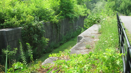
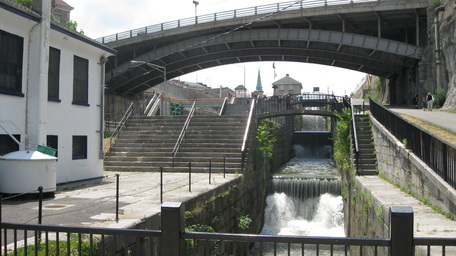
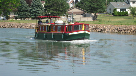
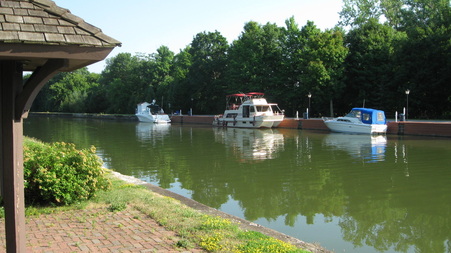
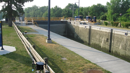
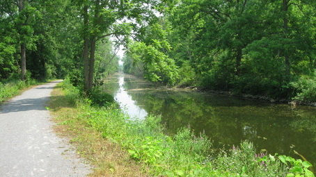
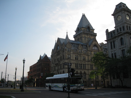
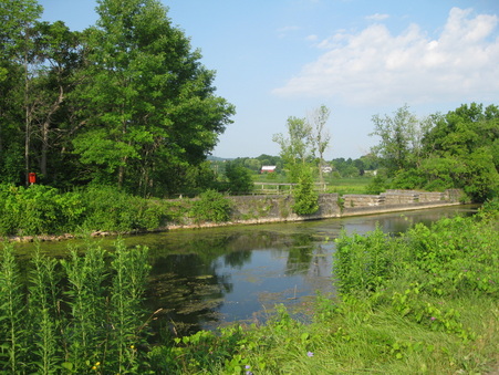
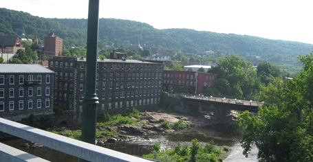
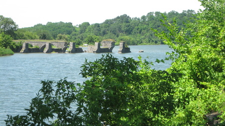
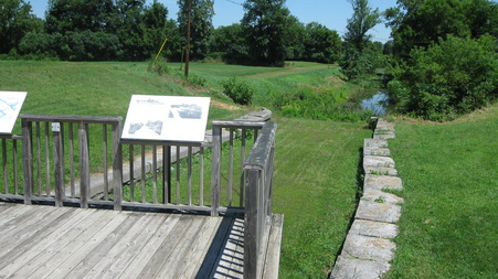
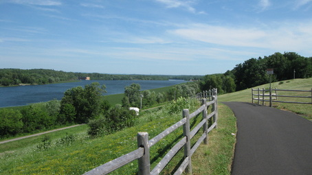
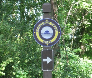
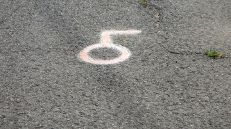
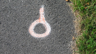
This blog decided it needed a ‘road’ trip this summer, and so it ventured to the original US-based canal, for a bicycle trip on the Erie Canalway Trail system in New York. Actually, the Erie Canal itself is now quite different from when it was originally completed in 1825, with the first major enlargement completed in 1862, and the present canal completed in 1918. The trail runs along not only the current canal configuration in places, but along ruins of the original canal and the enlarged canal as well as city streets (often where the canal used to run, but has been filled in and paved over, such as in downtown Syracuse). I flew into Buffalo on Jet Blue, which had a promotion that bikes fly free during July (a tie-in promotion with the Tour de France), rather than the normal airline gouge of up to $200 each way. I stayed in a hotel in downtown Buffalo and rolled out the next morning, heading north along the shores of Lake Erie and then the Niagara River. After 10 or so miles (16 km), the route turned inland towards Lockport. There, the trail picked up the canal and ran eastward for about 70 miles (112 km) right next to the present-day version of the canal. Several of the small towns made for a pleasant stop. This was badly needed, considering that the day had started out humid, with temperatures forecast to climb further for the day and to get even hotter during the week. I planned the trip at the last minute, so I hadn’t had the time to obtain the guidebook, and relied on my iPhone for planning where to stay each night. I had planned to stay in inns and hotels, which seemed fortunate as there didn’t appear to be as many camping options as I’d have thought there would have been. I stayed in Brockport at a chain motel and got dinner from a nearby supermarket. The forecasts for the week called for record heat, so I set the alarm very early for me at 5:15 and was on the road by 6 am. (Indeed, Syracuse did set a record for the following day, and the city recorded the second hottest temperature ever recorded for any date, tying the second-highest mark of 101 F, or 38.3 C, reached only 3 times.) I planned to go pretty far the second day, fearing the even hotter temperatures to come. After running through the outskirts of Rochester, the route left the canal east of Palmyra. From there, the route was on roads for much of the next section, and as it was getting into late morning, the sun baked the roads in the rising heat. At Port Byron, the route finally rejoined a trail section, and from there to Camillus, a suburb of Syracuse, the trail ran along the old Erie Canal, not the current incarnation. Much of this section of the old canal seemed to have water in it, like the current Hennepin Canal, but with a lot of algae and other growth. The third day was a very early start again with the route going through the streets of Syracuse. Although I had downloaded the route into my Garmin, my choice of downloads was too long and the route got truncated fairly early in the day the day before. The organized annual Cycling the Erie Canal Bike Tour had been the week prior, and the organizers had left painted route arrows on the streets, so furtunately I was able to utilize the arrows rather than have to deal with cue sheets and maps. It seemed to take quite a long time to get through Syracuse, and other than the downtown section, this was a rather long, dull, often industrial stretch of riding on streets. After finally reaching the eastern suburbs, I followed the arrows to another trail section. For the next 30 or so miles (~ 50km), the trail went through the Old Erie Canal State Historic Park. This was the day of the record heat, so I had planned to ride only until early afternoon, and finished the day with a lunch at Subway in Utica and then checked into a hotel. At the hotel, I appreciated the air conditioned comfort while I arranged logistics for the rest of the trip, including my finish in Albany, transportation home for me and for the bike (FedEx Ground), as well as my itinerary for my brief stay in New York City the following week. I started the final day again early, at around 6 am. Little Falls was an interesting old scenic city among the many sites I rolled by. I made sure to see Schoharie Crossing, which the Garmin and the iPhone certainly helped as it was off route a little bit and there was no signage alerting a trail rider that it was nearby. West of Schenectady, I picked up a rider out for an afternoon spin and we pedaled together on through a surprisingly interesting historic section of Schenectady towards Albany. The trail then ran alongside the Mohawk River, which now serves as the eastern end of the canal. I probably should have followed the other rider and made a beeline for the hotel I was staying at, but instead I went to the end of the trail which meant that this day ended up being quite long (116 miles, or almost 200km) while the end of the ride was anticlimactic as the trail ended at a small park rather than the confluence of the Mohawk and the Hudson. Oh well, the route was flat at least. I finished the trip with a coda of a ride in the Adirondack Park to the north. The lazy Saturday featured a leisurely pedal along a river and around one of the many Adirondack lakes, complete with scenes of summer as New Yorkers were out enjoying the water on a very warm summer Saturday. The entire trip made for a quick, yet fulfilling short summer tour. The route had some signs along the way (in the sections where the trail has been considered "complete", about 2/3 to 3/4 of the entire route, but the road marks for the group ride the previous week were more numerous, and along the entire route, not just the "finished" portions.
1 Comment
|
Editor - JimThis blog weighs in on topics such as long-distance skating, the Illinois canals, cycling, and a variety of related (and occasionally not-so-related) topics. I'd like to correspond with others interested in skating the Hennepin and I&M canals. Archives
November 2020
Categories |

 RSS Feed