Hennepin Canal Photos
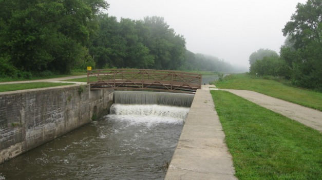
This page discusses the canal area and introduces a warm weather photo survey which shows what it might look like to skate. The survey looks at the locks and bridges, which would interrupt the ice surface. Follow the link to the slideshow. Lastly, there are several photos of the I&M canal, much of which is unwatered year round.
Hennepin Canal Photo Survey
Follow the link below to a slideshow survey of the Hennepin Canal, focusing on the bridges and locks, as well as covering some of the surrounding scenery. The survey begins at the eastern end near Bureau Junction, IL and continues west to the terminus at the Rock River in Colona, IL. It picks up again in Rock Falls, IL, and goes south to the summit pool. The URL for the show is at http://www.flickr.com/photos/35710734@N05/sets/72157621940514333/show
Follow the link below to a slideshow survey of the Hennepin Canal, focusing on the bridges and locks, as well as covering some of the surrounding scenery. The survey begins at the eastern end near Bureau Junction, IL and continues west to the terminus at the Rock River in Colona, IL. It picks up again in Rock Falls, IL, and goes south to the summit pool. The URL for the show is at http://www.flickr.com/photos/35710734@N05/sets/72157621940514333/show
Illinois and Michigan Canal Photos
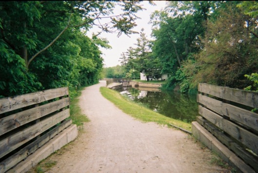
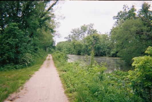
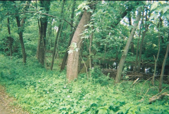
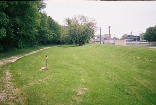
The pictures below are of my bicycle trip on the I&M Canal. Note the older condition of the canal, while the I&M's locks are made of stone, while the Hennepin's locks are concrete. The state of the canal varies--in various places along its length its a true canal with a clear, navigable waterway while in other places it can be a creek, a stangnant algae-filled pool, a puddle that is only filled after a recent rain, or even just a depressed place in a grass field along its path. According to Illinois-DNR, there are only two watered sections of the I&M are suitable for canoeing (and consistently good skating)--the 5 mile (8 km) stretch between LaSalle/Peru and North Utica and the 15 mile (24 km) stretch from Channahon to Gebhard Woods State Park.
From the pictures below, you can see a skate would be difficult. I did manage to skate the canal in the brutally cold winter of January, 2001, west of Channahon. Although it was under repair in parts and it was a little unnerving to skate the canal in that stretch as right next to it, separated only by a narrow strip of land containing the towpath, was the very unfrozen Illinois River.
From the pictures below, you can see a skate would be difficult. I did manage to skate the canal in the brutally cold winter of January, 2001, west of Channahon. Although it was under repair in parts and it was a little unnerving to skate the canal in that stretch as right next to it, separated only by a narrow strip of land containing the towpath, was the very unfrozen Illinois River.
